How to render a Revit model with AI
Revit is built for documentation, not for beautiful images. Setting up materials, lights and a render engine takes hours. With AI you can take the view you already have and get a photorealistic render in about a minute.
6 min read
What you will get
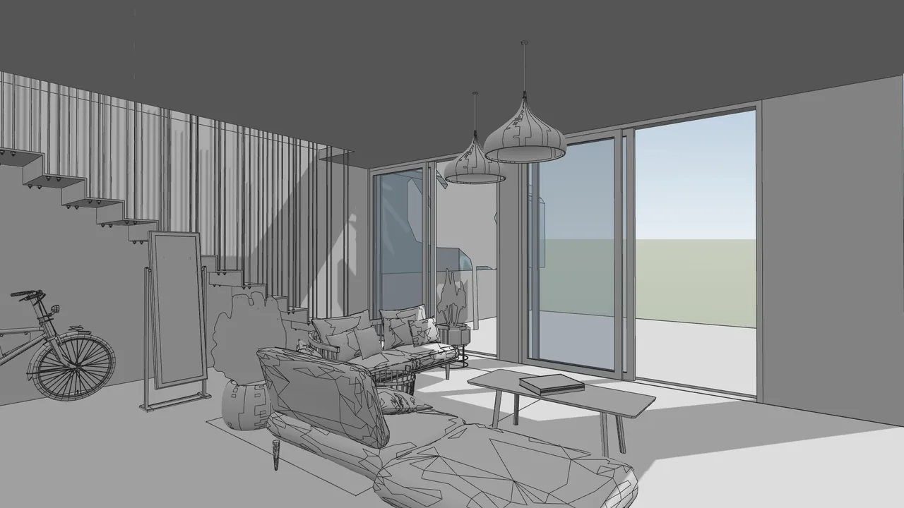
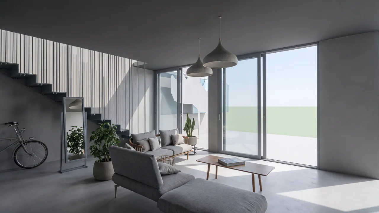
Drag the slider to compare before and after.
What you need
- Revit (any version, including Revit LT) with a 3D view, plan, section or elevation.
- A browser. No plugin and no graphics card.
- A free RendScene account (5 free renders, no credit card).
Step by step
- Step 1
Set up the view
Open a 3D view (View › Create › 3D View › Camera, or the default 3D view). Set the visual style to Shaded or Realistic. Hidden Line also works, as in the example on this page. Hide annotations, grids and section boxes you do not want in the picture.
- Step 2
Export an image or an IFC
Export the view with File › Export › Images and Animations › Image, or export the model as IFC. An IFC file opens in a 3D viewer in your browser, where you choose the camera. In the studio, choose 3D model under Starting from and upload.
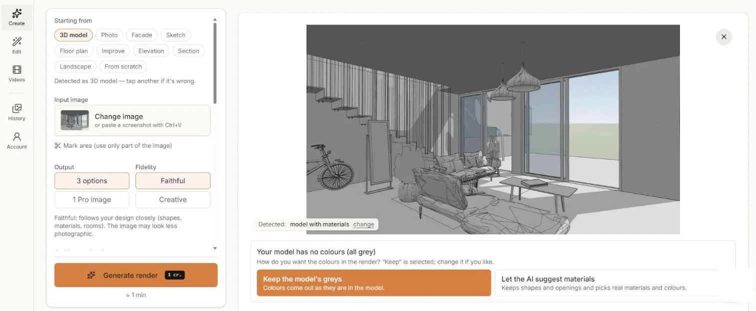
A grey Revit view: RendScene asks whether to keep the greys or suggest real materials. - Step 3
Decide about colours
Revit views are often grey. RendScene notices and asks: keep the model's greys, or let the AI suggest real materials and colours. Choose Faithful to keep the geometry close to your model, and pick a style if you like.
- Step 4
Generate and compare
Click Generate render and compare the options side by side in about a minute.
- Step 5
Adjust and download
Download in 2K or 4K. Use Edit to swap a material, change the light, furnish the room or animate the image into a short video.
Tips for better results
- Shaded with edges is the safest visual style; Realistic helps when your materials are already set.
- Export at a good size (at least 1920 px wide). Thin mullions and railings read better.
- Turn off crop region outlines, levels and grids before exporting.
- Plans, sections and elevations from Revit work too: choose Floor plan, Section or Elevation instead of 3D model.